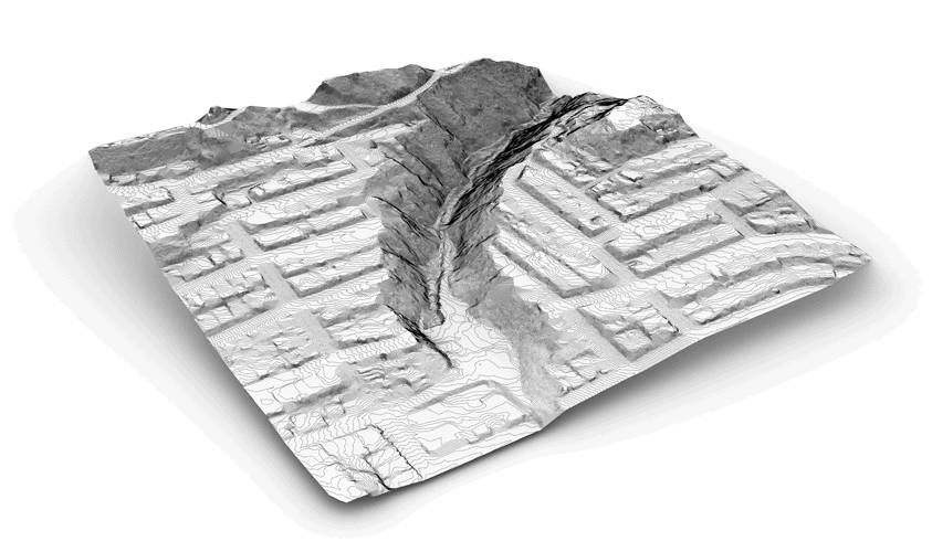
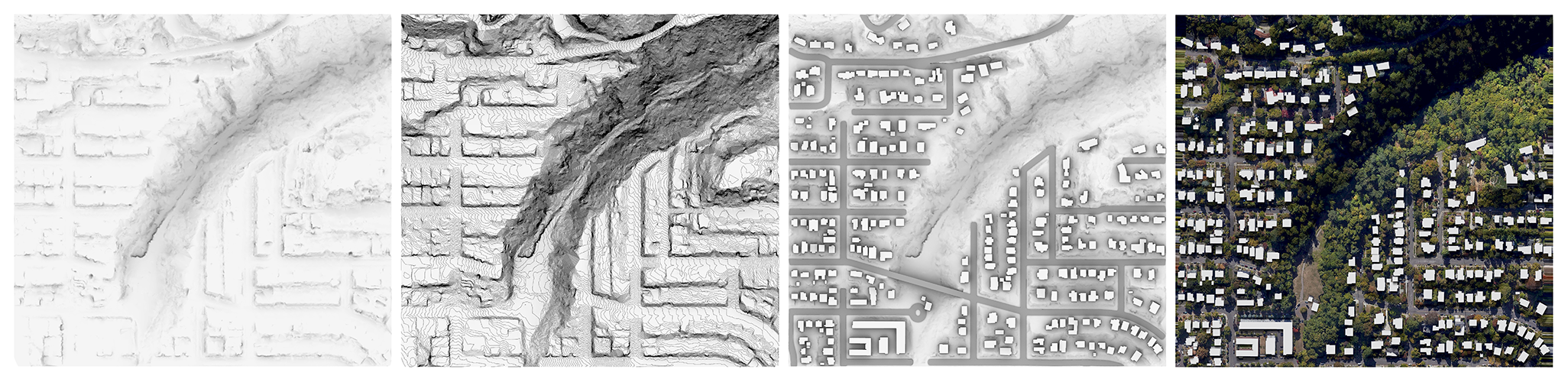
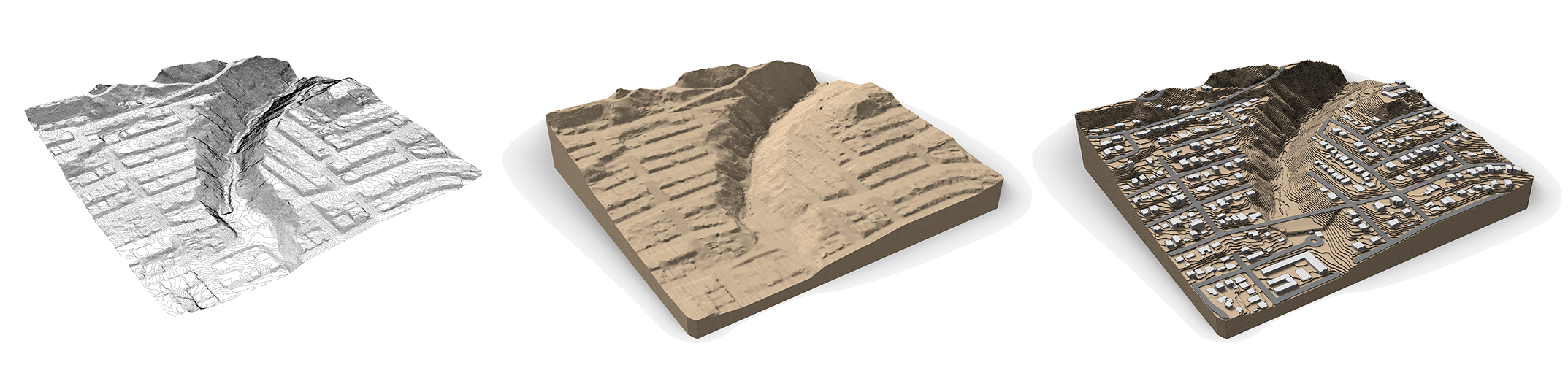
Site Modeling + Data Sets
MAPS assists with the creation of accurate site 3d models based on GIS data sets. We are experts in locating the most up-to-date available spatial information of your area and generate comprehensive 3d models and 2d plans compatible with any CAD software in the market. The output will be suitable for any 2d and 3d visualization process, fabrication of physical models, as well as initial stages of design, master planning or competitions.
Due to our team’s international background (USA, Europe, Asia), we have the tools and experience to provide assistance for any site across the United States and internationally.
Contact us to learn more about how we work and how we can help you with a specific site or region.